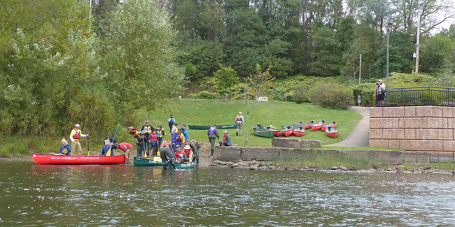
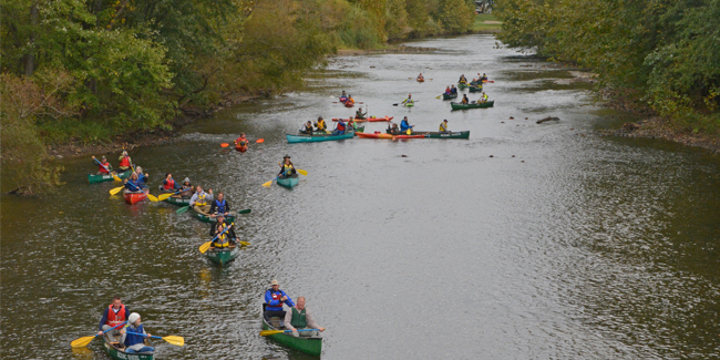
Plan Your Trip
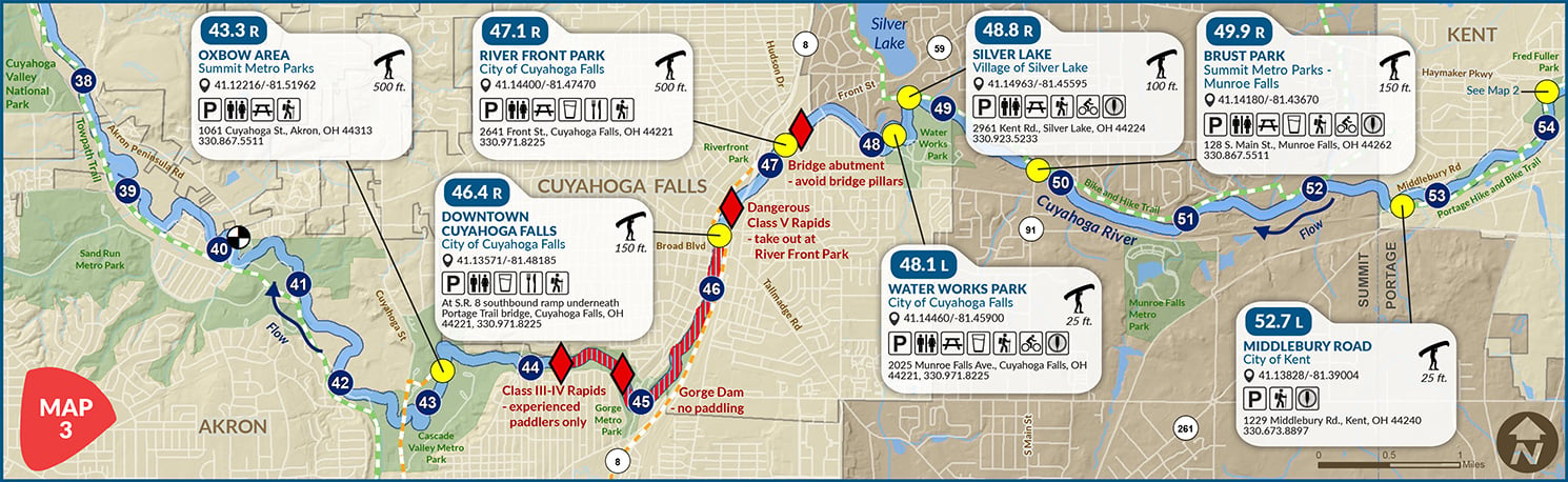
Map 3 covers Kent to Cuyahoga Falls (River Mile 54 to 38) and has seven access points. The stretch of river from John Brown Tannery Park (see Map 2) to Water Works Park is suitable for all paddlers. Below River Mile 47, only experienced whitewater paddlers should attempt the dangerous rapids. The Gorge Dam area is a no-paddle zone. Oxbow Area is the put-in for longer paddles to Cuyahoga Valley National Park.
ALERT: The CRWT will be closed from December 15, 2022, through February 15. 2023 between river miles 37 and 38.
MAP 3
Know the river flow before you go. Check river gauges.

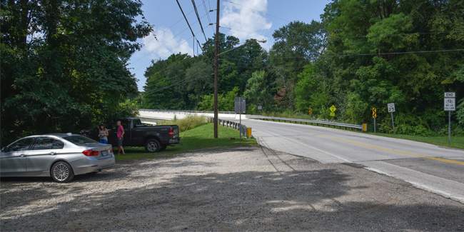
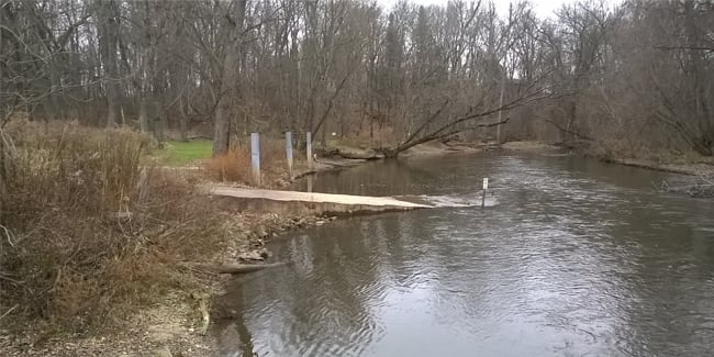
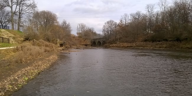
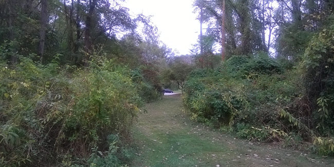
Midlebury Road
City of Kent
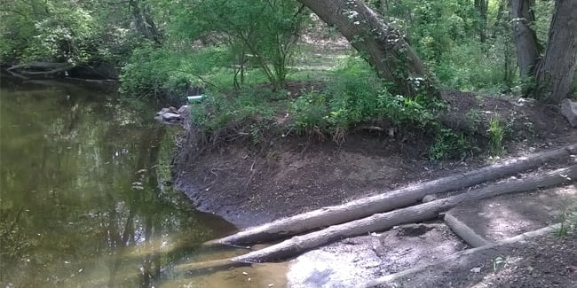
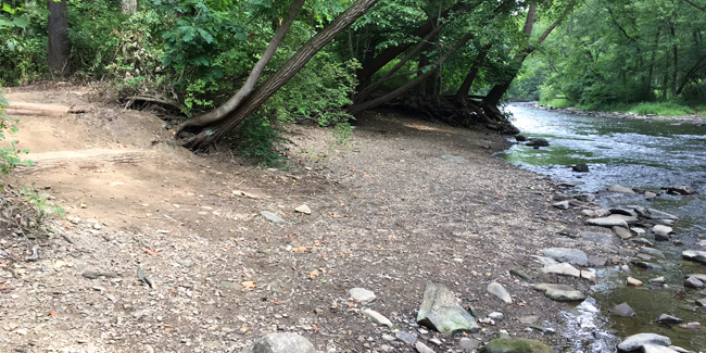
This primitive site allows access on river right to a section that is suitable for beginners. Access is river RIGHT. (Brochure printed in 2019 has the side wrong.)
Things to Know
• No amenities
• Small gravel parking lot, just north of the bridge
• Dropoff/pickup 25 feet from water’s edge
• Pedal/Paddle option. The Portage Hike and Bike Trailhead is on the south side of the bridge. It connects to the Bike & Hike Trail (Summit County) via one mile of roads. This enables a bike ride back from Brust Park or Silver Lake. Running or walking is not recommended.
• Class I downstream paddle to Brust Park involves no permanent hazards.


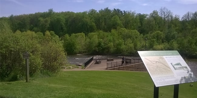
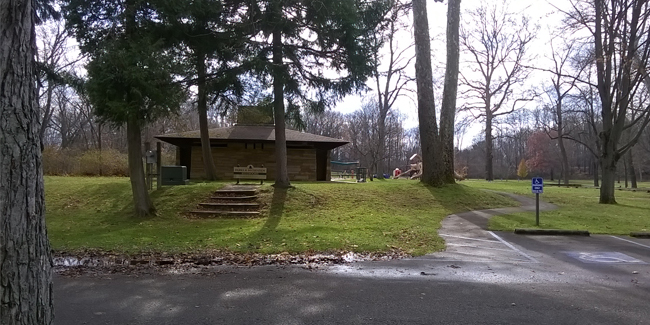
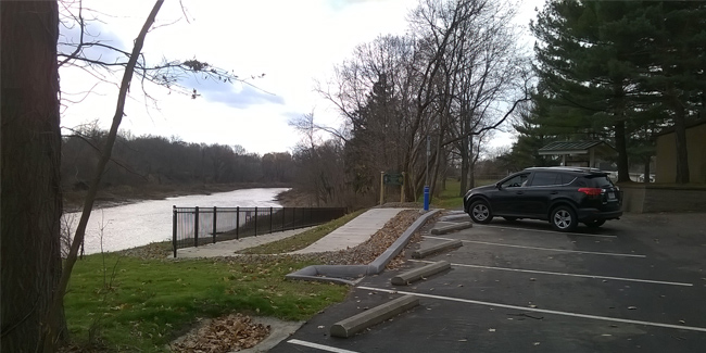
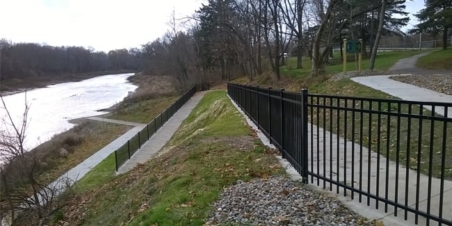
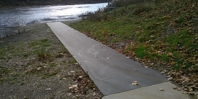
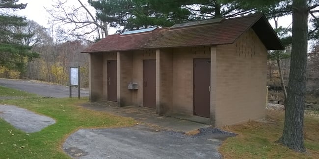
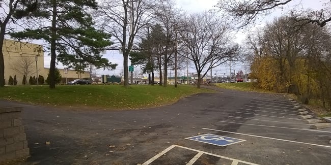
Brust Park
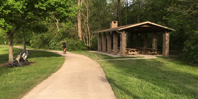
Summit Metro Parks – Munroe Falls
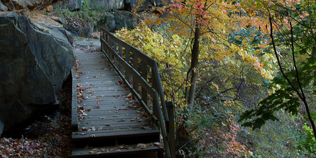
This Bike & Hike Trailhead allows access to a river section that is suitable for beginners.
Things to Know
• Paved parking lot, restroom, drinking water, gazebo, picnic tables, river viewing platform, hiking and biking trail
• Restaurants within walking distance, across the bridge in downtown Monroe Falls
• Dropoff/pickup 150 feet from water’s edge
• Pedal/Paddle option. The Bike & Hike Trail enables a ride/run/walk back from Silver Lake or further, please see Summit Metro Parks website for more information.
• Class I downstream paddle to Silver Lake involves no permanent hazards.


Silver Lake
Village of Silver Lake
This small community park allows access to a river section that is suitable for beginners.
Things to Know
• Paved parking lot, portable toilet, picnic shelter, play area, hiking and biking trail
• Dropoff/pickup 100 feet from water’s edge
• Pedal/Paddle option. The Bike & Hike Trail can be used to return to points as far upstream as Middlebury Road. See details under other river access points.
• Class I downstream paddle to Water Works Park involves no permanent hazards.
• Dropoff/pickup 100 feet from water’s edge
• Pedal/Paddle option. The Bike & Hike Trail can be used to return to points as far upstream as Middlebury Road. See details under other river access points.
• Class I downstream paddle to Water Works Park involves no permanent hazards.

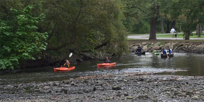
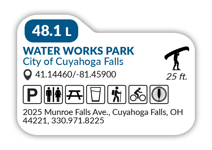
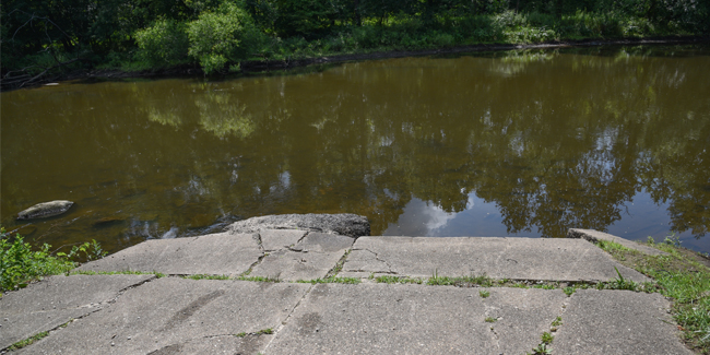
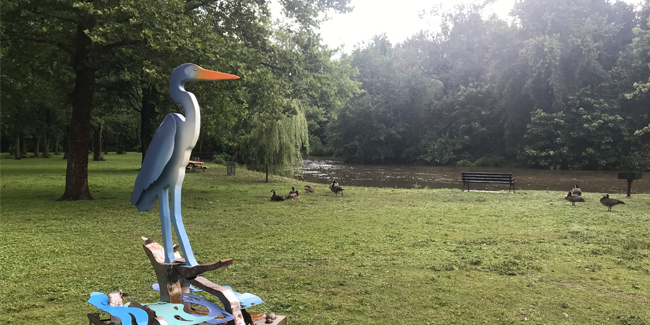
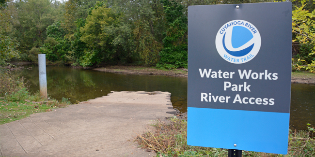
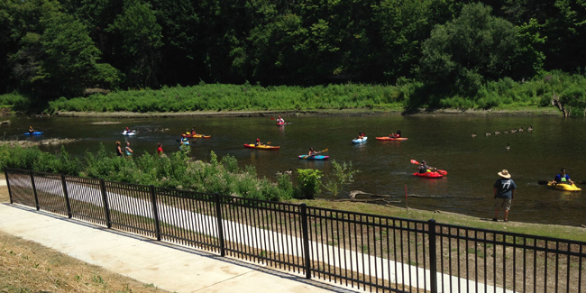
Water Works
City of Cuyahoga Falls
This city park allows access to a river section with a permanent hazard that requires some skill to avoid.
Things to Know
• Paved parking lot, reservable picnic shelters, restrooms, drinking water, play area, hiking and biking trail
• Dropoff/pickup 25 feet from water’s edge
• Pedal/paddle option. A connecting trail over the river links to the Bike & Hike Trail. This can be used to return to points as far upstream as Middlebury Road. See details under other river access points.
• Class I downstream paddle to River Front Park involves bridge pillars after 0.75 miles that create a Class II flow issue. Proceed with caution.

Hazard
Know the river flow before you go. Check river gauges.

- Avoid pillars at this stone bridge.


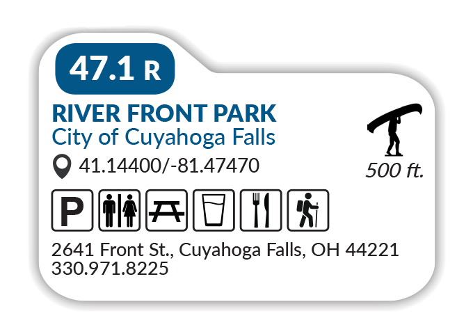
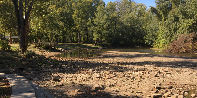
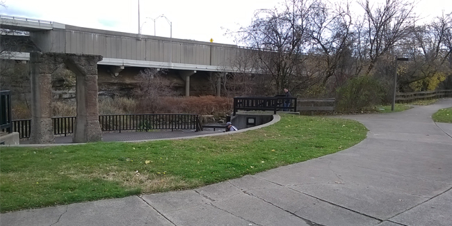
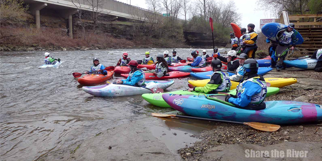
River Front Park
City of Cuyahoga Falls
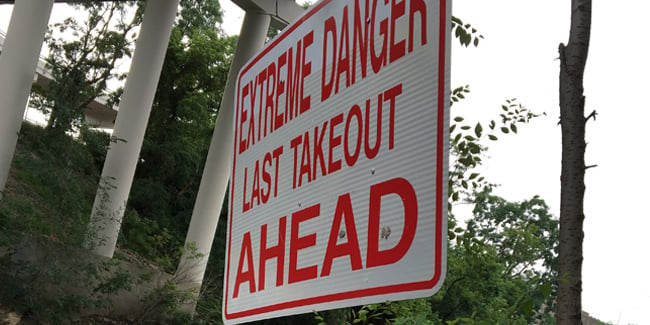
This city park is the last takeout point before dangerous Class V rapids.
Things to Know
• Paved parking lot, restrooms, drinking water, picnic tables, walking trail
• Restaurants and groceries within walking distance
• Dropoff/pickup 500 feet from water’s edge (longer than usual)
• Last access point before Class V rapids.
• Restaurants and groceries within walking distance
• Dropoff/pickup 500 feet from water’s edge (longer than usual)
• Last access point before Class V rapids.
Hazard
Know the river flow before you go. Check river gauges.
- Dangerous Class V rapids.


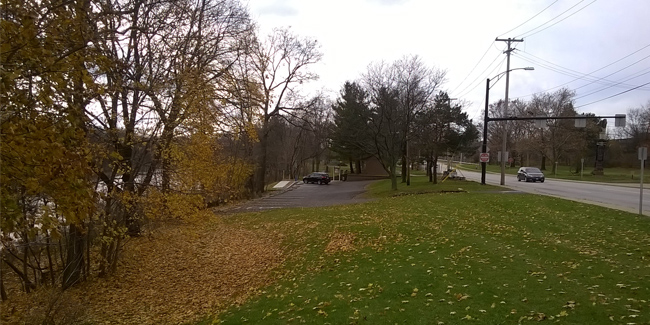
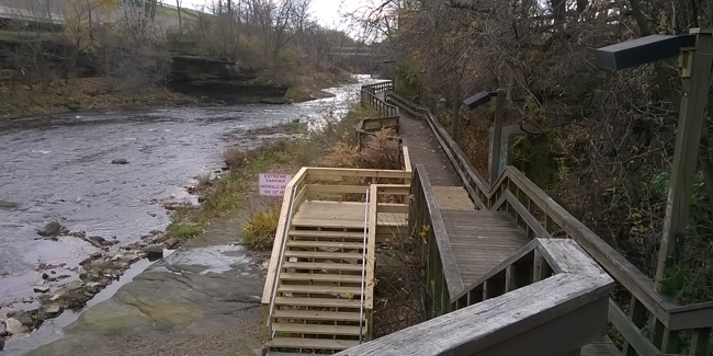
Downtown Cuyahoga Falls
City of Cuyahoga Falls
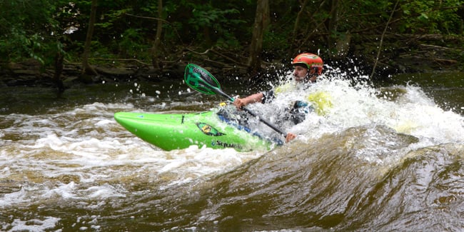
Below the Portage Trail bridge is the last takeout point before a series of dangerous waterfalls. Downstream, the Gorge Dam is a no paddle zone, followed by Class III-IV rapids.
Things to Know
Things to Know
• Paved parking lot across the street, boardwalk with viewing areas
• Restaurants, restrooms, and drinking water within walking distance
• Pickup 150-foot carry up deck stairway
• Last access point before the Gorge Dam no paddle zone.
• More overlooks within walking distance at High Bridge Glens Park
• Longer walk to hiking trails and fishing dock in Gorge Metro Park
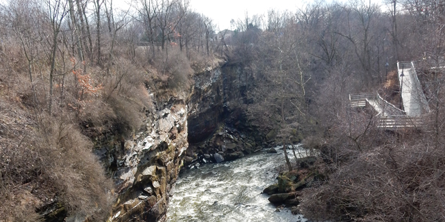
Hazard
Know the river flow before you go. Check river gauges.
- Doodlebug bridge abutments.
- White water behind The Sheraton.
- 60-foot dam at Gorge Metropark.
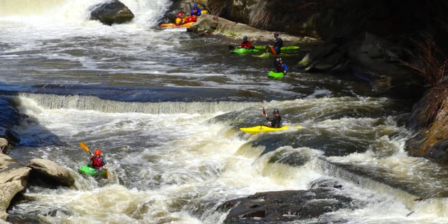
- Class III-IV rapids below dam.


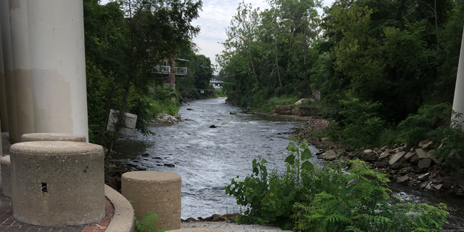
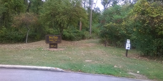
Oxbow Area
Summit Metro Parks
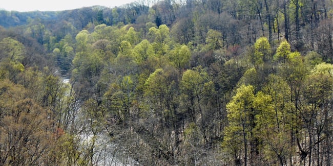
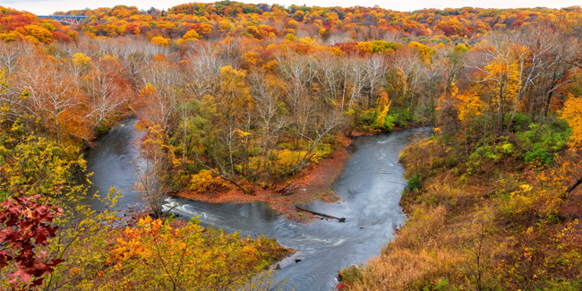
This site allows access to a 14.3-mile section connecting Cascade Valley Metro Park, Sand Run Metro Park, and Cuyahoga Valley National Park. There is a hazardous mill race and low waterfall in Peninsula above the Lock 29 access site (see Map 4).
Things to Know
• Paved parking lot, restrooms, no drinking water, picnic tables, hiking trails
• More recreational options, including river viewing areas, in nearby sections of Cascade Valley Metro Park, Sand Run Metro Park, and Cuyahoga Valley National Park
• Dropoff/pickup 500 feet from water’s edge (longer than usual)
• First access point after the Gorge Dam. Initial Class II flow settles nicely into Class I after ½ mile. Currently this is a beautiful but long (14.3-mile) paddle to the next access point. Before the Lock 29 access is a hazardous mill race and a low waterfall. No paddling in the mill race. To avoid the waterfall, portage left.
Hazard
Know the river flow before you go. Check river gauges.
See Map 4 for hazard details.
Valley View Access – Future Access
Open spring 2022. Updates to come next year.
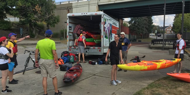
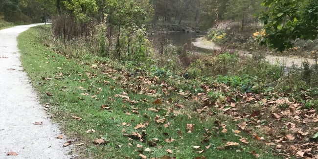
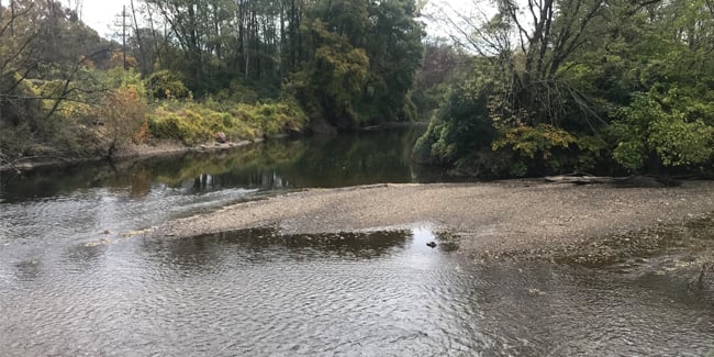
Our Gallery