Plan Your Trip

MAP 5

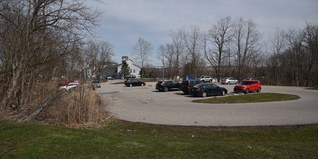
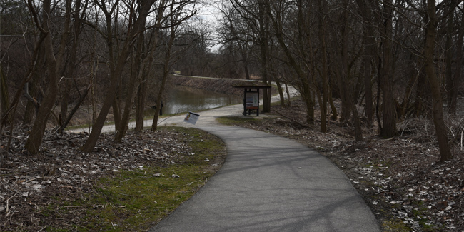
Station Road Bridge Trailhead
Things to Know
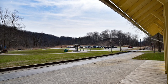
• Paved parking lot, restrooms, picnic tables, drinking water, hiking and biking trails, train station
• River-related exhibits near the trailhead kiosk and along a northern Towpath Trail loop.
• View from Station Road Bridge is popular with photographers.
• Dropoff/pickup 500 feet from water’s edge (longer than usual, look for mowed path)
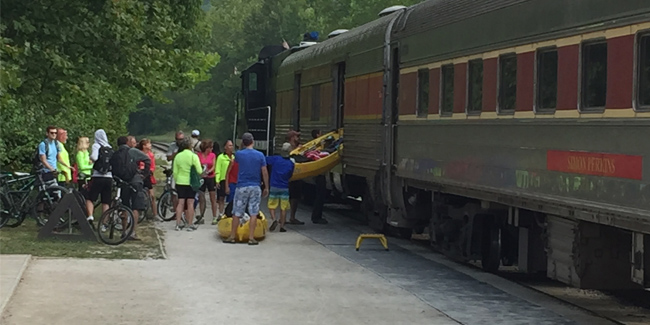
• Shuttle option on Cuyahoga Valley Scenic Railroad during Bike Aboard season, once dam is removed. Fee. Board downstream at Rockside Station and ride to Brecksville Station. Paddle to Lock 39 Trailhead. Walk to Rockside Station and drive back to pick up your boat.
• Pedal/paddle option. Use the Towpath Trail to bike/run/walk back from Lock 39 Trailhead.
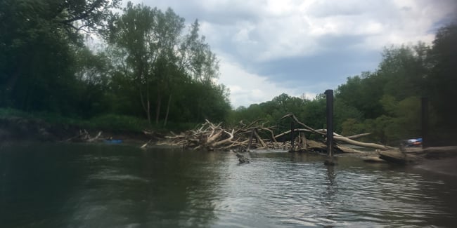
• Class I downstream paddle to Lock 39 Trailhead involves a permanent hazard. Pylons causing frequent log jams. Portage right


Hazards (1)

- Pylons causing frequent log jams. Portage right. Know the river flow before you go. Check river gauges.
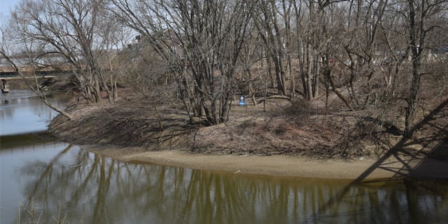
![]() Mandatory take-out at on river left, upstream of Fitzwater bridge at mile 17, due to river closure. No portage at this time.
Mandatory take-out at on river left, upstream of Fitzwater bridge at mile 17, due to river closure. No portage at this time.

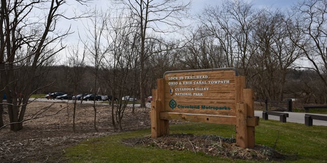
Lock 39 Trailhead
Things to Know
• Restrooms, picnicking, and drinking water nearby at Rockside Station (follow connecting trail with pedestrian bridge)
• Restaurants and restrooms at the shopping plaza across the street
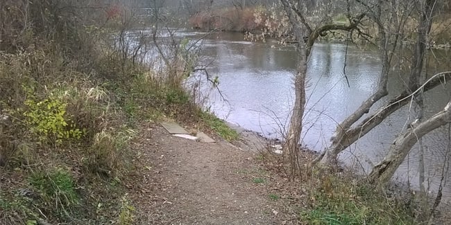
• Dropoff/pickup 100 feet from water’s edge
• Boarding for shuttle option on Cuyahoga Valley Scenic Railroad during Bike Aboard season. See Lock 29, Boston Store, and Station Road Bridge trailheads for details.
• Takeout for pedal/paddle option. Use the Towpath Trail to bike/run/walk back to upstream access points as far as Lock 29 Trailhead.
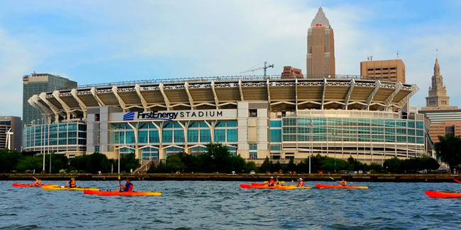
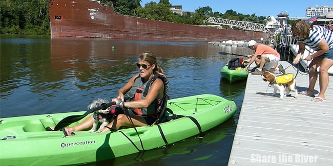
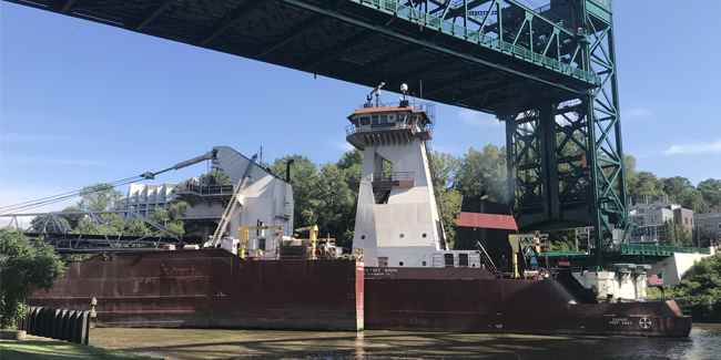
• Class I downstream paddle to Merwin’s Wharf enters the shipping channel for the last four miles. Proceed with caution.

Hazard
- Use extra caution in Cleveland. Huge freighters and motorized recreational boats share the shipping channel. See the Safety page for the special rules here.


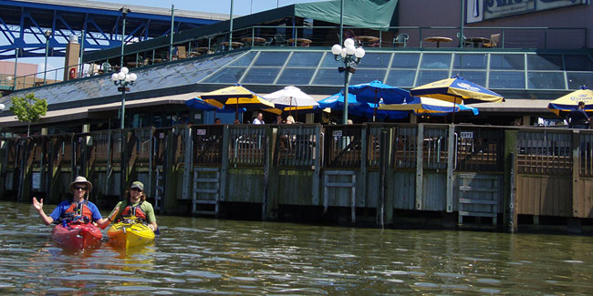
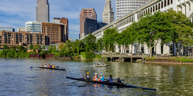
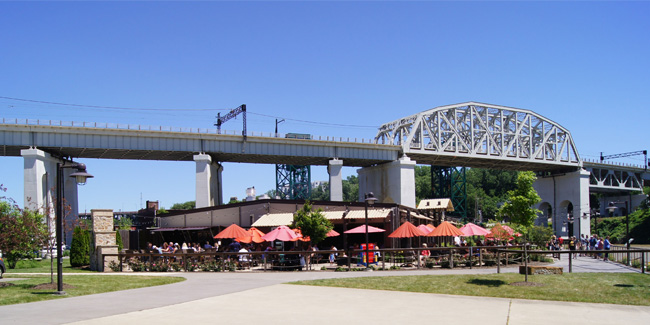
Merwin’s Wharf
Things to Know
• Restaurant at the trailhead and more within walking distance
• Dropoff/pickup 50 feet from water’s edge
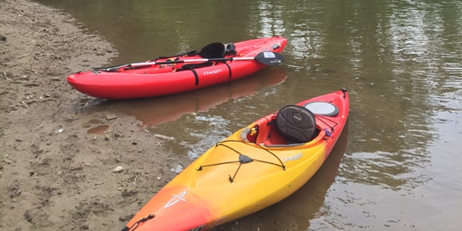
• Slow-moving water enables upstream paddling. No need for a shuttle.
• Pedal/Paddle option for local workout only. The Towpath Trail is not yet continuous in Cleveland.
• Last access point before connecting to the Lake Erie Water Trail.


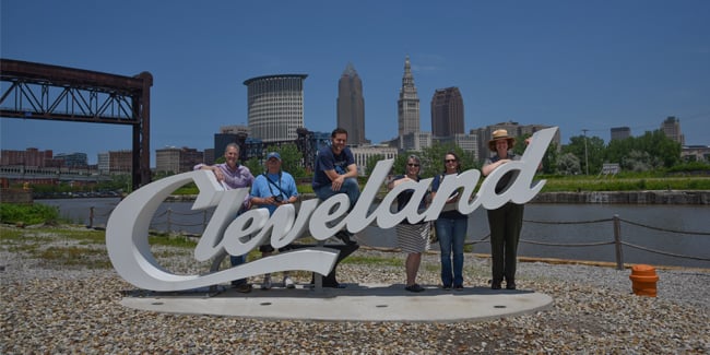
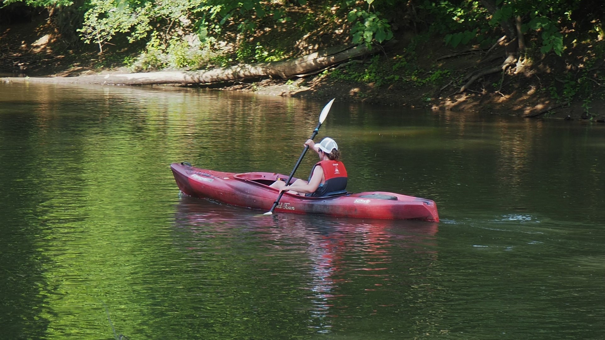
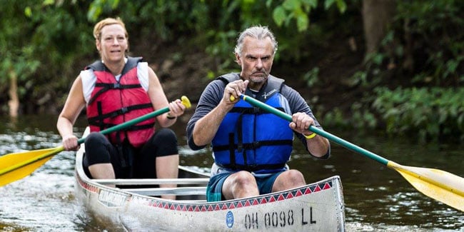
Our Gallery